Metadata Record -- Extent Section
The Extent section of the Edit Window is used to define geographic, temporal, and vertical extents for the main resource. The Geographic Extent sets spatial boundaries which encompass data collection and/or areas of interest for the main resource. The boundaries can be defined as a bounding box, points, lines, or complex polygons. Temporal Extent set time periods or specific instants for which the main resource is relevant. Vertical Extents define the vertical span of the main resource as altitude, elevation, or depth.
When no Extents have been defined for the Metadata Record a large blue bar is displayed on the page declaring "No Extents found."
Note only geographic extents are implemented in this release of mdEditor. Temporal and vertical extents are coming soon.
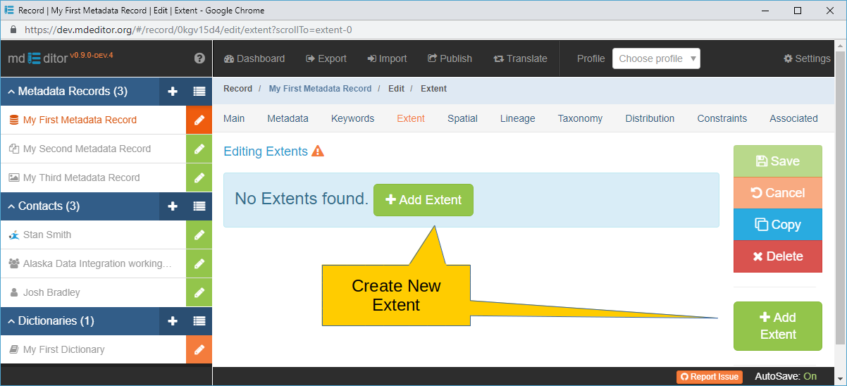
Click either Add Extent button to add the initial Extent to the Metadata Record. Afterwards you will be transferred to the Extent Edit Window where you can complete data entry for the extent.
When one or more Extents have been defined the Extent window will look similar to the image below.
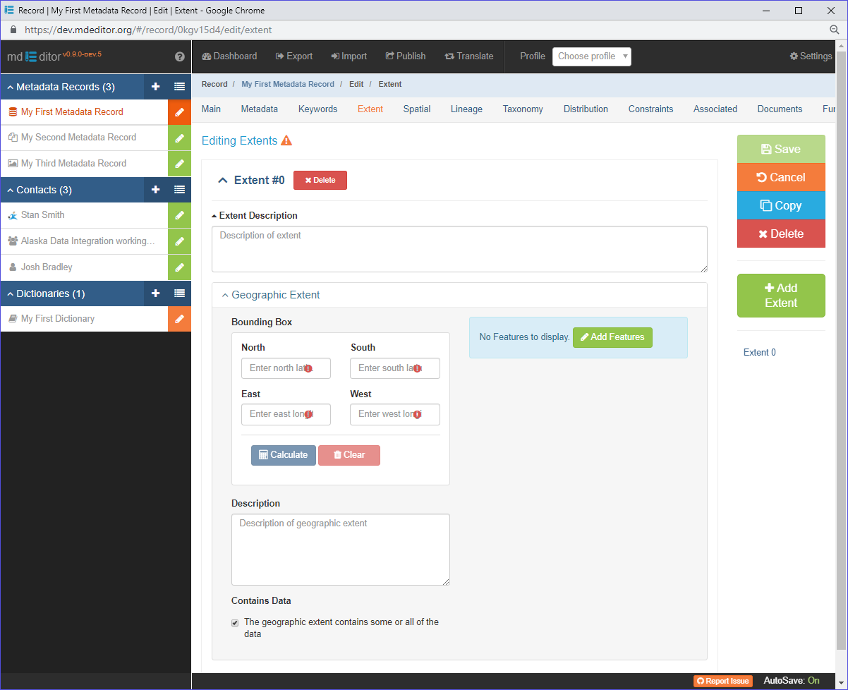
The Extent Edit Window opens with one empty Geographic Extent initiated. Multiple Geographic Extents are permitted in mdJSON, however only one Geographic Extents is supported by mdEditor at this time. To include multiple Geographic Extents in the Extent you will need to generate the mdJSON manually.